
Early in 2024, Samantha Pearson – former director of Lewisburg Neighbourhoods , now with PA Downtown and dedicated enthusiast of streetscape mapping – shared a project on historic maps of Pittsburgh.
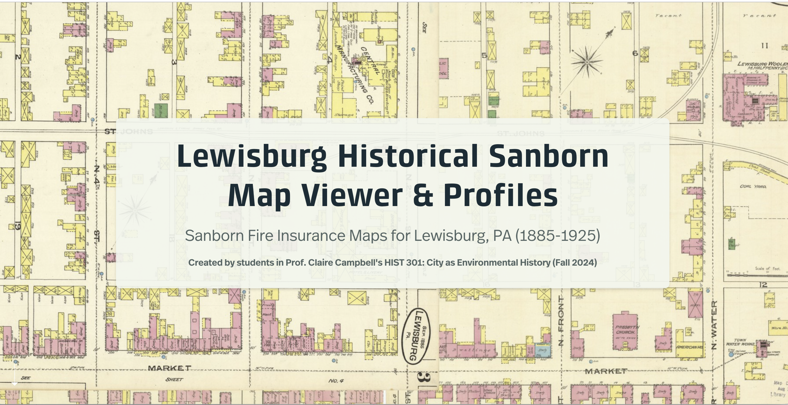
Could we do something similar for Lewisburg? Fortunately, the Penn State University Library has digitized Sanborn insurance maps for communities across the commonwealth, including Lewisburg .
In the fall of 2024, the students in History 301 – a senior seminar in environmental history – worked with Janine Glathar , the GIS specialist at Bucknell University’s Bertrand Library, to build a digital compilation of these insurance maps.
Beginning in 1867 in Boston, the Sanborn Map Company published depictions of cities and towns across the United States . They were intended to supply insurance companies with detailed information about property and building fabric (and the risk of fire, in particular), but for historians, have become some of the best records of an era of urban expansion and industrialization. Each volume has a title page and index of all the sheets that follow, and then each sheet focuses on a different area (usually about four to six blocks), using a standardized key and annotations.
Come explore historic Lewisburg!